
Original: $6.95
-65%$6.95
$2.43The Story
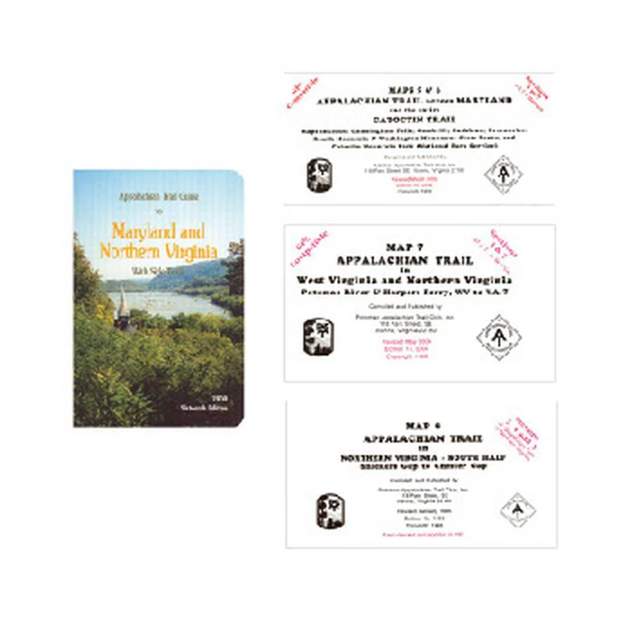
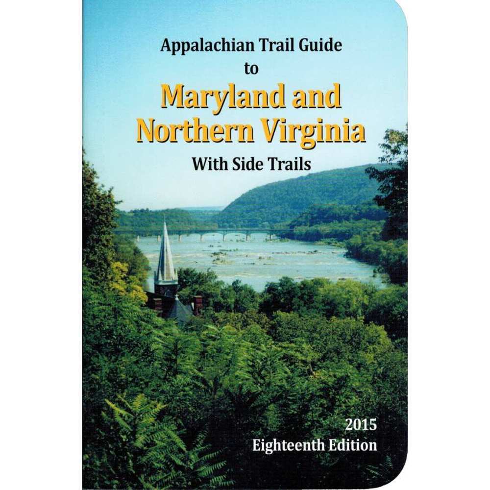
MARYLAND / NORTHERN VIRGINIA
Covers Maryland, the eastern panhandle of West Virginia, and northern Virginia -- 94 miles from Pen Mar on the Pennsylvania border to the entrance to Shenandoah National Park near Front Royal, Virginia. Includes three five-color topographic maps with elevation profiles; scale, 1:62,500. Published by the Potomac Appalachian Trail Club.
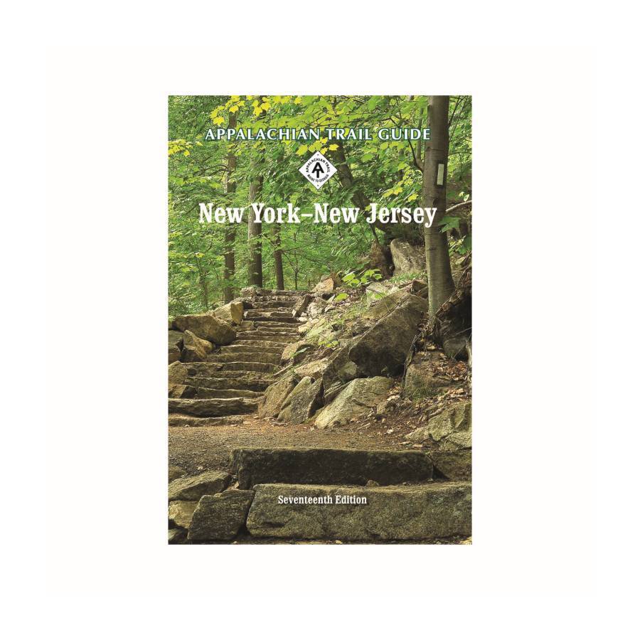
NEW YORK / NEW JERSEY
Covers 174 miles from Kent, Connecticut, to Delaware Water Gap National Recreation Area on the New Jersey-Pennsylvania line. Includes book and four four-color topographic maps (two sheets) with elevation profiles; scale, 1:63,360. 280 pages.
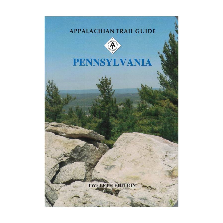
PENNSYLVANIA
Covers 229 miles from Delaware Water Gap National Recreation Area to the town of Pen Mar on the Maryland border. Includes book and two maps published by the Keystone Trails Association, and three maps produced by the Potomac Appalachian Trail Club.

Details & Craftsmanship
Every detail has been carefully considered to bring you the perfect product.
Details & Craftsmanship
Every detail has been carefully considered to bring you the perfect product.
Details & Craftsmanship
Every detail has been carefully considered to bring you the perfect product.
Details & Craftsmanship
Every detail has been carefully considered to bring you the perfect product.
Details & Craftsmanship
Every detail has been carefully considered to bring you the perfect product.
Description
MARYLAND / NORTHERN VIRGINIA
Covers Maryland, the eastern panhandle of West Virginia, and northern Virginia -- 94 miles from Pen Mar on the Pennsylvania border to the entrance to Shenandoah National Park near Front Royal, Virginia. Includes three five-color topographic maps with elevation profiles; scale, 1:62,500. Published by the Potomac Appalachian Trail Club.
NEW YORK / NEW JERSEY
Covers 174 miles from Kent, Connecticut, to Delaware Water Gap National Recreation Area on the New Jersey-Pennsylvania line. Includes book and four four-color topographic maps (two sheets) with elevation profiles; scale, 1:63,360. 280 pages.
PENNSYLVANIA
Covers 229 miles from Delaware Water Gap National Recreation Area to the town of Pen Mar on the Maryland border. Includes book and two maps published by the Keystone Trails Association, and three maps produced by the Potomac Appalachian Trail Club.